Auld Reekie
“There was nothing romantic or pretty about the Old Town in the 18th Century. It was an over-crowded, filthy, disease-ridden slum. Its most regular visitors were cholera, typhus, and dysentery—invaders which the city walls could not keep out. Living conditions were grim: there was no plumbing, little hygiene, and each evening the stinking buckets of excrement, the so-called “nasties,” which filled up daily in people’s houses, would be emptied from the windows into the streets below—perfect fodder for the city’s thriving rats.”
It’s hard to imagine the stunning Old Town we see today was once a horrendous place to live. Today the Princes Street Gardens are pristine, but in 1460 they were a marshy area that King James III ordered to be flooded to strengthen the medieval castle’s defenses—creating the so-called “Nor’ Loch” or North Lake. Nor’ Loch’s stagnant waters became a dumping ground for human effluence and the runoff from Fleshmarket Close, where all the butchers prepared and sold their meats, ran directly into Nor’ Loch. Nor’ Loch was also used for “witch ducking” or “swimming tests” and a large coffin containing three skeletons was found when the loch was drained in the late 18th century to allow construction of North Bridge.
Beyond Nor’ Loch’s contribution to the city’s stink, coal as the primary way of heating everything, and with so many people living cheek by jowl inside the walled city—it’s no surprise how Edinburgh earned the nickname Auld Reekie—Scots for Old Smoky, referring the the smoke that hung constantly over the city.
As mentioned on the last post, we toured the vaults under the South Bridge this afternoon, providing a glimpse into a sorted part of Edinburgh’s past. But first, the briefest of geology lessons is required to understand Edinburgh and the underground vaults. So, here goes:
Once upon a time, there was a large volcano in Edinburgh. Many years and much erosion later, only the lower portion of the volcano remains. Today the remaining volcano core is better known as Arthur’s Seat.
Castle Hill, where Edinburgh Castle rests, was once a vent cone from that volcano, that filled in and solidified into a lava plug.
Then there was a massive ice age where a glacier formed to the west of the Castle Hill volcanic plug. When the ice from the glacier met the old Castle Hill volcanic rock, it split and flowed around the plug, carving out deep valleys on either side, and leaving a “tail” of debris to the east.
The glacier melted and left deep gorges on either side of the volcanic crag and a debris ramp tapering down to the east.
The deep gorges form present day Princes Street Gardens (to the north) and Grassmarket (to the south). The debris tail created the Royal Mile.
Just think about it: Edinburgh is one of the world’s most fascinating cities largely because of this amazing geological history. Neither the stunning castle nor the Royal Mile would have ever been possible without these unique formations.
Fast forward to more “modern” times, around the 1750s when Edinburgh was massively overcrowded and plans were made to expand beyond the old city walls. New Town was planned to the north and Edinburgh University already existed to the south. But because of the deep gorges left on either side of the Royal Mile by the glacier, two massive bridges had to be built in order to span the valleys on either side of the Royal Mile. The North Bridge was built first and joined the Old and New Towns. In 1785, the foundation stone of the South Bridge was laid, and three years later the grand opening ceremony took place.
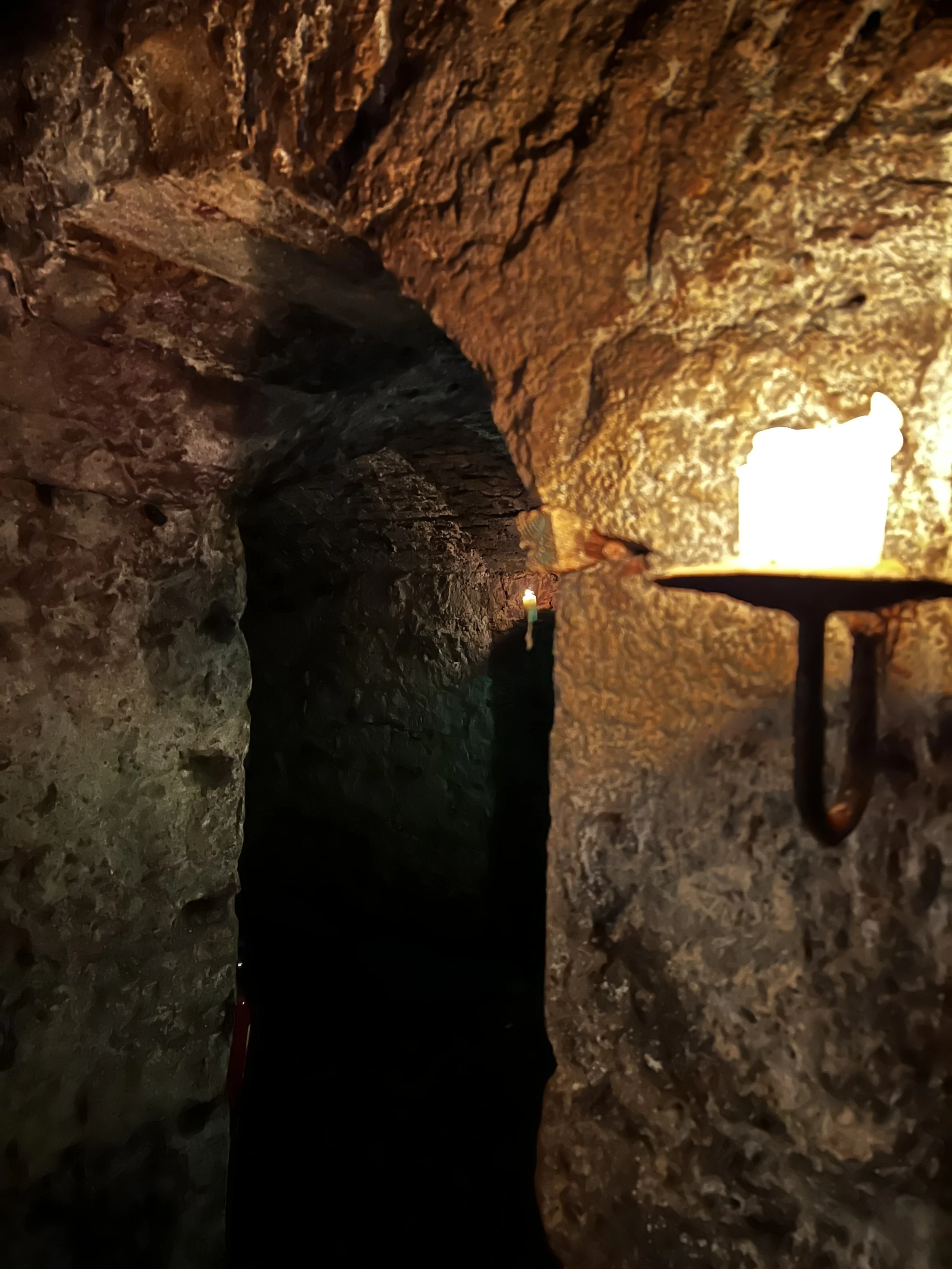
When South Bridge was built, the newer buildings were built on top of the new bridge, leaving the old buildings well below the new bridge and this is where the vaults were created. The bridge supports created the vaults you see below (the vaults appear open-ended, but they were walled off).
Interestingly, the gap in the buildings above still exists, as seen in this Google Earth Street View image below.
As you can see, some of the bridge vaults are very much in use as present-day shops. But many (further up the street the left) remained hidden and were only rediscovered in recent years.
Some vaults were used as storage facilities. Here an original stall number can be seen.
Some rooms were used as workshops and even windowless taverns like this:
As the rich moved to New Town, many of the poorest people made the vaults their homes. The divider in the upper section was removed to create a bed.
Because this section was just outside the edge of the bridge, a chimney could be connected with those from tenements above.
Others used the vaults to conceal illicit activities such as illegal distilleries and moving dead bodies.
Because the University of Edinburgh and its medical school were located just outside the vaults, the vaults became a way for the “body snatchers” to disinter the recently buried, quickly move them into the vaults, and then move the bodies in relative secrecy to the university where they could be sold for a nice profit. A fresh, intact body could fetch 6-month’s wages.
This guy apparently refused to pay for his tour and was left as a lesson to others.
I wish there were more pictures of us, but it was just too dark and flash photography wasn’t allowed.


