Cliffs of Insanity
“You fell victim to one of the classic blunders—the most famous of which is, ‘Never get involved in a land war in Asia’—but only slightly less well-known is this: ‘Never go against a Sicilian when death is on the line’! Ha ha ha ha ha ha ha! Ha ha ha ha ha ha ha!”

On Sunday (Apr 23) the barometer at the Earlson Farmhouse showed fair weather, so it was into the car for the 1.5 hour drive to Doolin to catch the ferry to the Aran Islands.
The name of the islands depends on whether they are written in Irish or Anglicized. You can use the map below to look around at the location of the archipelago. We traveled to the largest island: Inis Mór.

Here we are at the small harbor in Doolin preparing to take the Doolin Ferry to the Aran Islands.

Fair winds and following seas as we leave Doolin behind.

The first island we approach is Inis Oírr, with its lighthouse and the Plassey Shipwreck. Inis Oírr is the smallest of the Aran Islands and the closest to the mainland; it’s less than 1.8 miles long and only 1.2 miles wide.
Homes on Inis Oírr.

The east end of the middle island Inis Meáin (left) and the west end of the furthest island Inis Mór (right) nearly meet at the horizon. We stopped off in the Inis Oírr harbor briefly to pick up passengers; however, we never got very close to Inis Meáin.

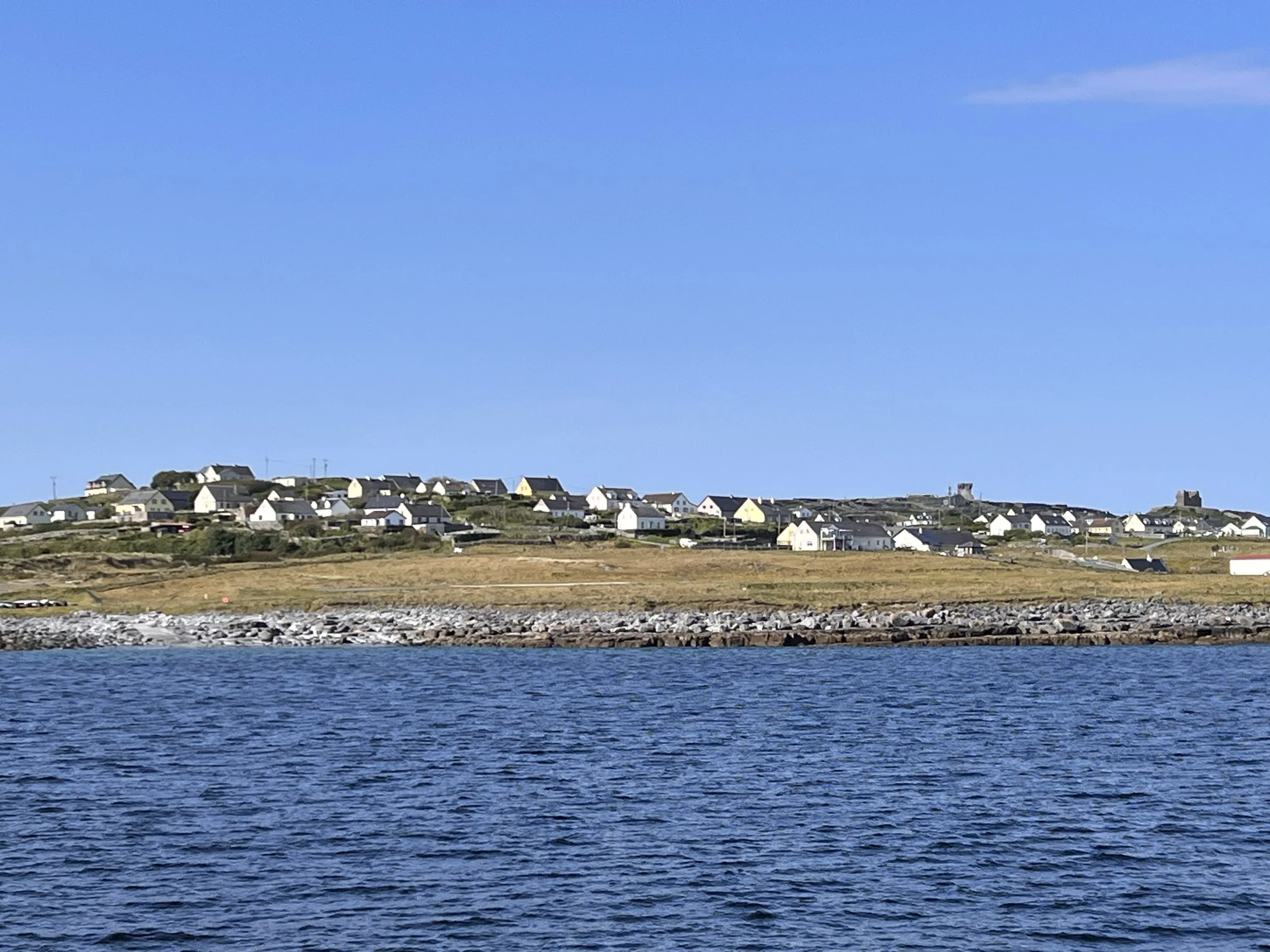
Approaching the harbor on Inis Mór. Inis Mór is the largest of the three islands (Mór means “big” in Irish) and has a population of around 800. It’s 7.4 miles long and 1.8 miles wide.

The barometer was right—a gorgeous day! ☀️ We rented bicycles and started on the four-mile ride to the Dún Aonghasa fort.
Amanda still has her jacket on because we got her an electric bike. My jacket is off because I didn’t. 🥵 My heart rate was probably back to the low 100s by the time we took this shot. ❤️🩹

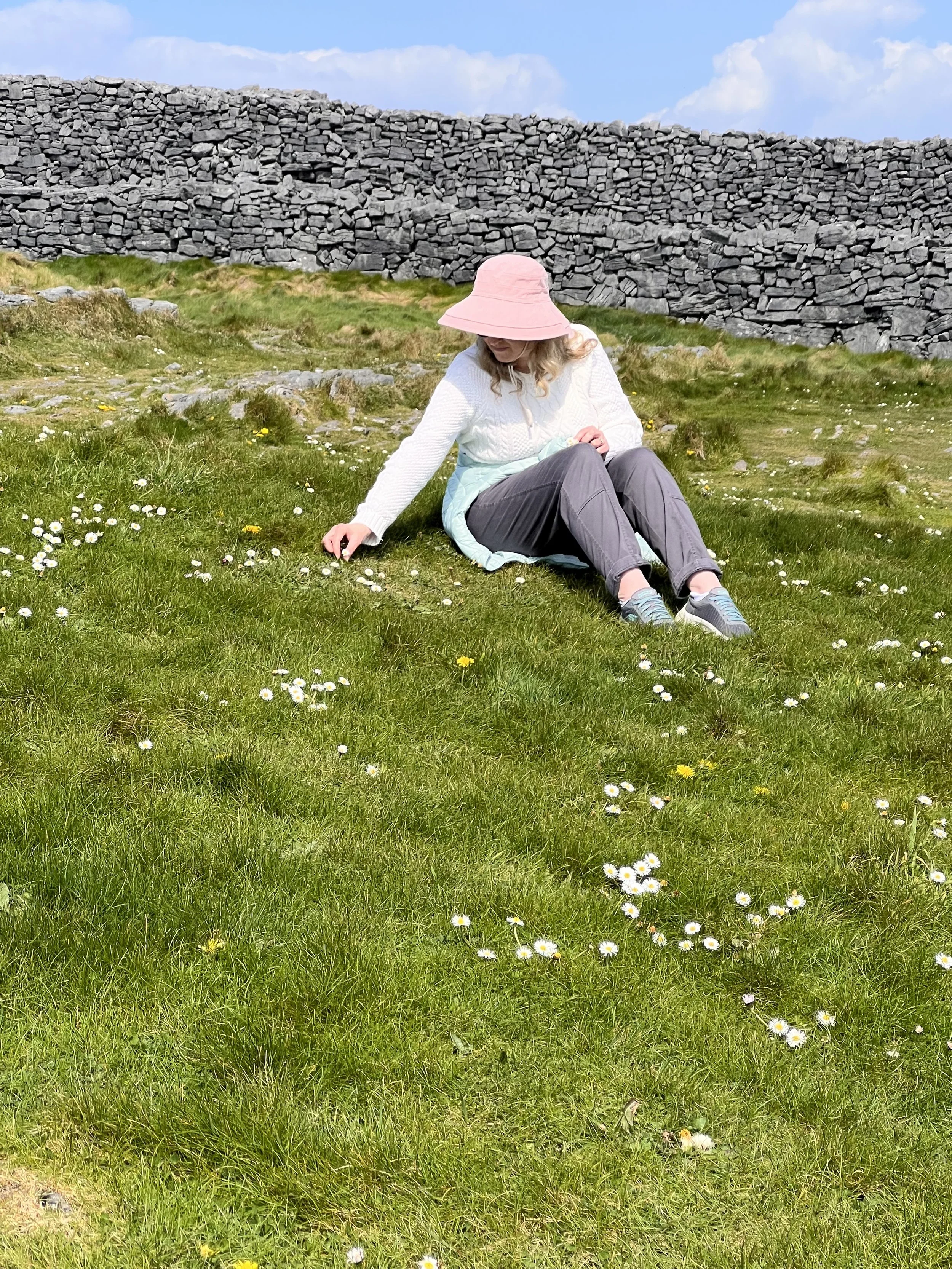
Some sights along the way: a gravesite.

Some mamas and their babies.


Endless views

Restored, traditional island houses (and their miniatures).

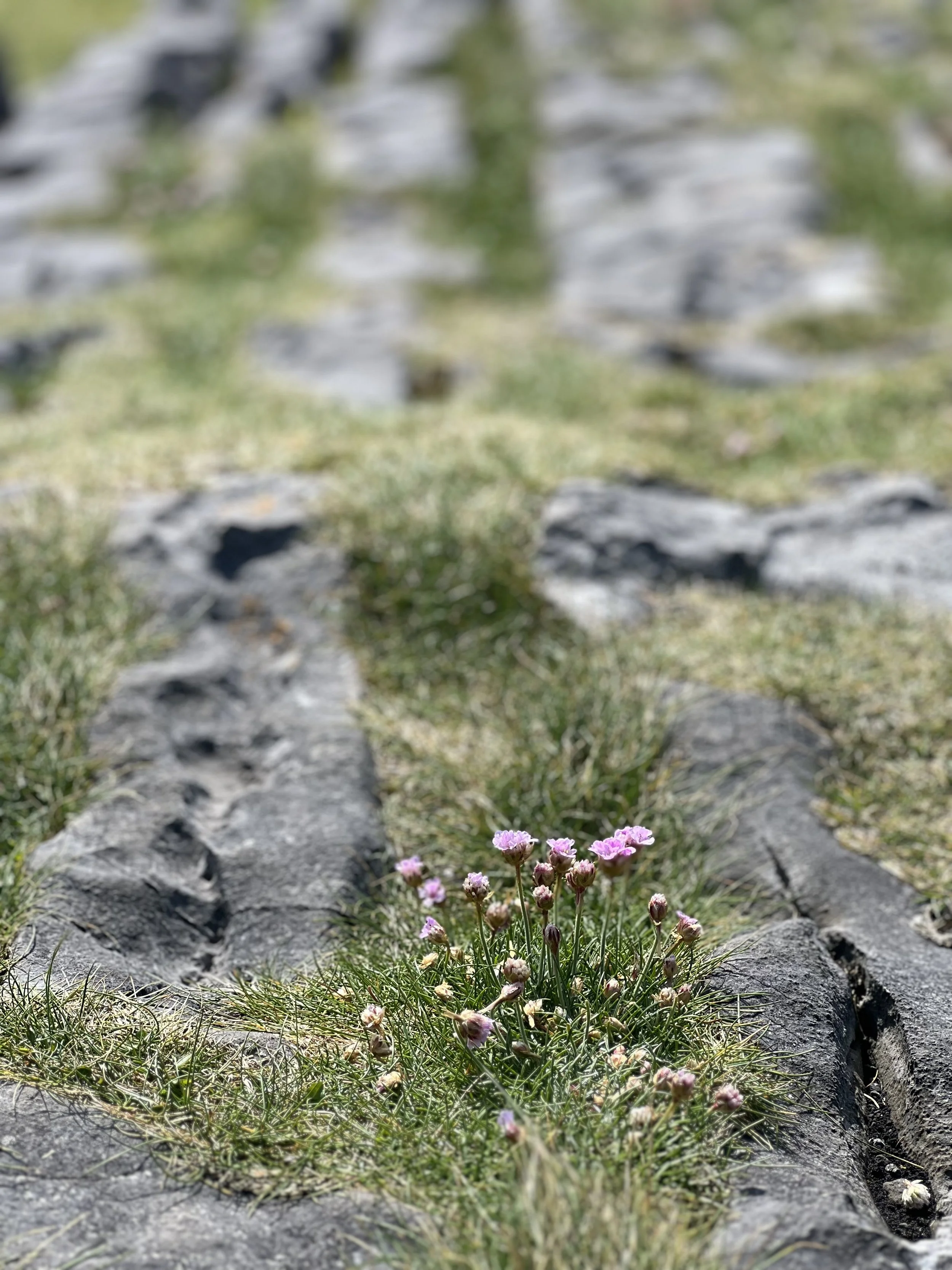
Roadside monuments

And then it was time to park the bikes and hike up to Dún Aonghasa hilltop fort.

It is not known exactly when Dún Aonghasa was built, though it is now thought that most of the structures date from the Bronze Age and Iron Age. Excavations at the site indicate that the first construction goes back to 1100 BC, when rubble was piled against large upright stones to form the first enclosure. Around 500 BC, the triple wall defenses were probably constructed along the fort's western side. Excavations have revealed significant evidence of prehistoric metalworking, as well as several houses and burials. The whole complex was refortified in AD 700–800.
The fort consists of three massive drystone defence walls. Outside them is a chevaux-de-frise—a dense band of jagged, upright stones, thousands in number. A devastatingly effective way to impede intruders, the chevaux-de-frise surrounds the entire fort from cliff to cliff.

The final side of the fort is, of course, protected by the most impenetrable barrier of them all—the sheer drop to the North Atlantic Ocean.

This photo was taken (respecting the cliff!) inside the outer perimeter wall; the inner wall is visible behind us.

The view east back toward Doolin.

Standing in front of the inner wall.

The passageway through the inner wall.

Standing on top of the rock plateau inside the inner walls.


When you do this, you see….

…a 300-foot drop (keep a tight grip on that phone)!

The view west over the inner wall. Some of the chevaux-de-frise can be seen.


Time to head back to the bikes for the ride back to the harbor.

After biking 8 miles and a hike up and back to the fort, a pint of Guinness was in order!

At the harbor waiting for our 4 pm boat back to Doolin.

After arriving back in Doolin, we switched boats for the 5:15 tour of the Cliffs of Moher.

The Cliffs reach 702 feet in height at their highest point. A visit to the Cliffs of Moher is the second most popular tourist destination in Ireland. Can you guess the first?

The Nag’s Head rock formation above and hundreds of nesting birds below.

As erosion takes place, a cave is formed. The cave will eventually erode fully through creating an arch. The arch will eventually collapse and leave a stack.

It will come as no surprise that there is a Harry Potter movie connection with the Cliffs of Moher.
In Harry Potter and the Half Blood Prince book, it was revealed that Tom Riddle turned the Slytherin Locket into his third horcrux and hid it in a seaside cave.
When the filmmakers wanted to create the scene where Harry and Dumbledore apparate to the rock outside the cave entrance, they came to the Cliffs of Moher and filmed the large cave coming into view behind Amanda.


You may notice the rock Harry and Dumbledore stand on is missing. No worries, that is also in Ireland, just in a different place. We’ll be visiting that rock in a few days. Isn’t it crazy how movies are made…so many bits and pieces joined together to give the desired effect?!
Here is the cave scene from the movie: https://www.youtube.com/watch?v=d40X5WkOjxg&t=117s

After the boat tour, we drove to the top of the Cliffs.

The HP cave in the background.

The Nag’s Head is the prominent feature in the far background.

Yes, these are the Cliffs of Insanity of The Princess Bride fame.
Vizzini: Inconceivable! Faster!
Fezzik: I thought I was going faster.
Vizzini: You were supposed to be this colossus, you were this great legendary thing, and yet he gains!
Fezzik: Well, I'm carrying three people, and he's got only himself.
Vizzini: I do not accept excuses! I'm just going to have to find myself a new giant, that’s all.
Fezzik: Don't say that, Vizzini. Please?
Vizzini: Did I make it clear that your job is on the line?

Saw this lucky Irish ☘️ rainbow 🌈 on the drive home.