Yr Wyddfa
“The profoundest distances are never geographical.”

See Ken. Ken drove through five gates, took our old tire away (back through five gates), drove to two places on a bank holiday to get it fixed, and then drove through five gates again to put the new tire back on our car. Ken is rad!

After three days “stuck” in one of God’s most beautiful places on Earth, we were finally free to move about the country again.

My mind set on summiting Snowden Peak, Amanda did the only sensible thing and decided to stay home and enjoy watching her favorite TV shows—with the unsolicited snarky commentary turned off!
Late last year, the Snowdonia National Park Authority voted to use the Welsh name for both the mountain and the region, which means Snowdon Peak is now called Yr Wyddfa (Uhr With Va), and the Snowdonia region is now referred to as Eryri (Er-ruh-re). (Despite its unusual letter pairings, the Welsh language is very melodic when spoken.)
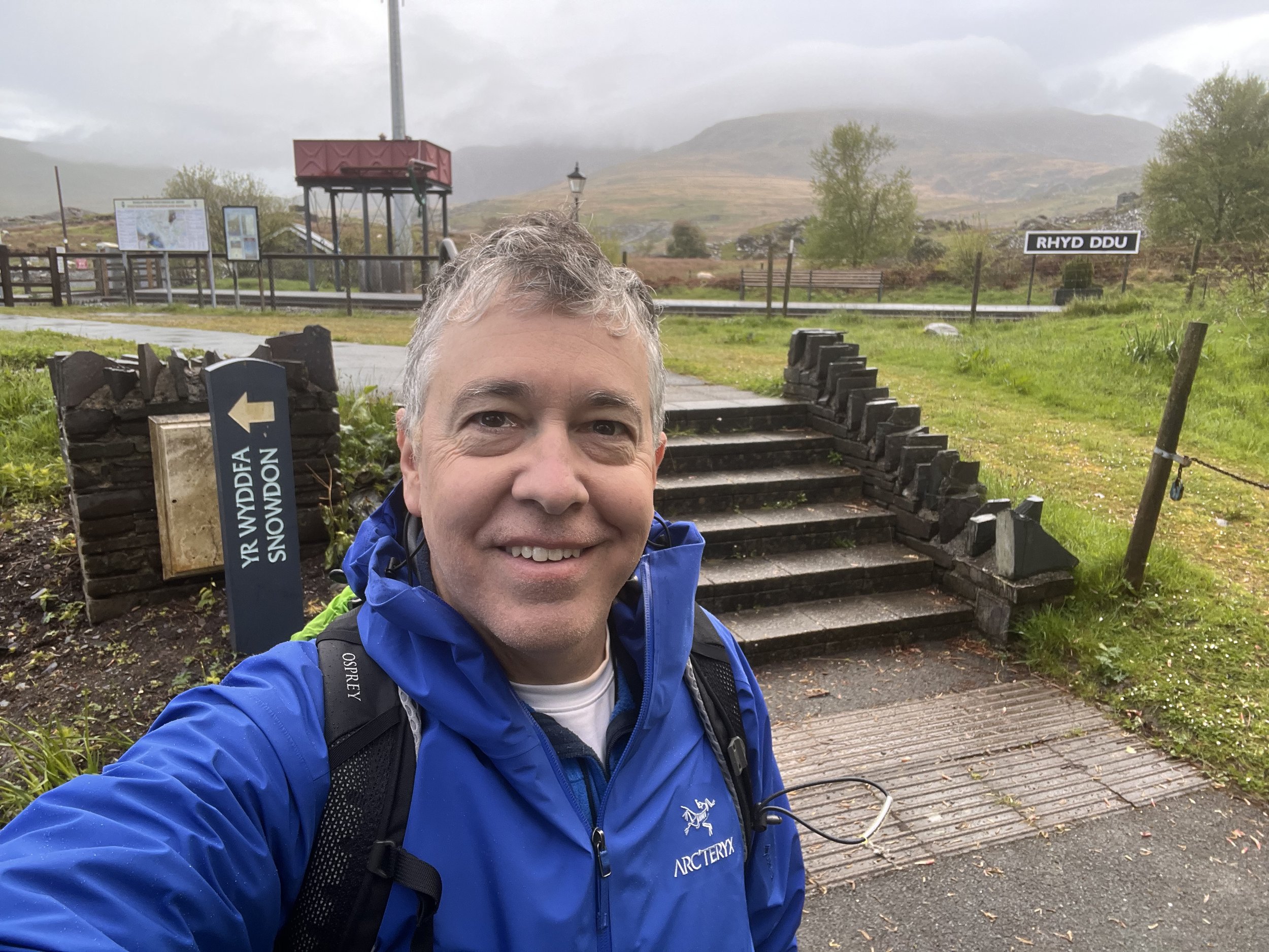
Over 600,000 people climb the iconic peak each year, and it is unique in that there are six official routes to the summit: Llanberis Path, Miners Track, Pyg Track, Watkin Path, Snowdon Ranger, and Rhyd Ddu Path. I’m standing at the Rhyd Ddu trailhead above.
Legend has it that Yr Wyddfa is the final resting place of Rhita Gawr, a fearsome giant who wore a cloak made of men’s beards. He challenged King Arthur to combat, but Arthur defeated him and cut off his head. According to legend, the cairn on the summit of Yr Wyddfa marks the final resting place of Rhita Gawr’s head. Yr Wyddfa roughly translates to “tomb” or “cairn.”

I chose to ascent the western slopes via the Rhyd Ddu path because Ken recommended it. And remember—Ken is rad! My trail is the red & white line starting at the red circle.

The first mile of the path climbed gradually along an old track that served the Bwich Cwm Llan slate quarry. Yr Wyddfa is shrouded in clouds behind me.

This sign marked the end of the broad path.

From there, the path continued as thousands of stone pavers snaking up a moderate incline until reaching a stream cascading down a hillside

After scrambling up the waterfall, the path climbed quite steeply over scree along Llechog Ridge. A rock cairn marks the vague path.
The image above was a gorgeous view of three lakes below, until the clouds suddenly began pushing down into the valley and obscuring the view.

Within a minute, I was completely in the clouds. Thankfully, the talus provides ample material to make cairns, which continually marked the path upward.

Llechog Ridge lead to several long talus-covered switchbacks. The final section traversed the ridge along an exposed narrow and rocky path with steep slopes down both sides, and then along Bwlch Main before the final climb to the summit. Naturally, even here, there was the ubiquitous sheep.

Four miles, 2 hours and 52 minutes, and 2,946 feet of elevation gain later—I reached the summit of the highest mountain in Wales and the highest point in the British Isles outside the Scottish Highlands.

The summit and its monument.

A panoramic shot from the summit as the clouds parted shortly.
The building is the Snowden Mountain Railway station—the cheater’s way to reach the summit. While the railway was running the day of my hike, it would only take you to a station 3/4 of the way up. Beginning on June 24 train service will run all the way to the summit.

The clouds parted just long enough to view the valley floor 3,000 feet below—a momentarily glorious view!
On a really clear day, apparently you can see Ireland, but not today.

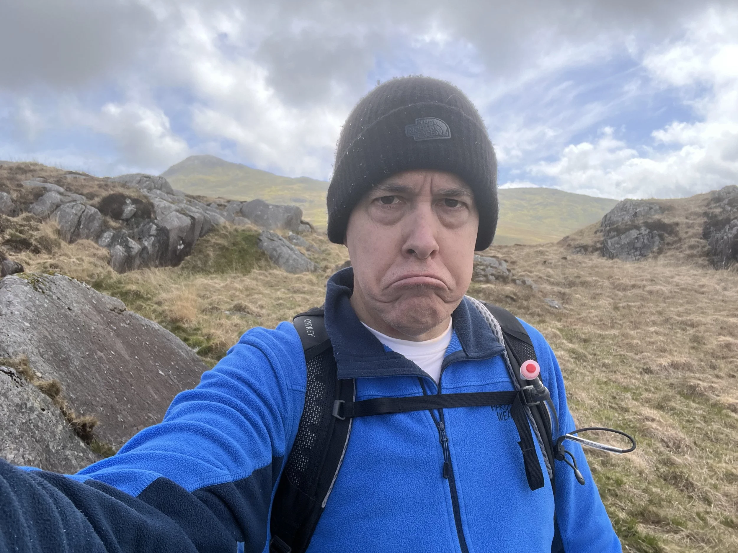
About halfway down, the clouds slowly dispersing.
Yep, that’s the peak free of clouds! 😢 Should have started the hike later in the day I guess.

Oh well, the last mile was under beautifully sunny skies.

Here a sheep, there a sheep, everywhere a sheep sheep.

Cloud-covered summits aside, Wales is an astonishingly beautiful place!