Tidal Causeway
“I don’t want anything more
Then to see your face
When I open the door
You’ll make me beans on toast
And a nice cup of tea
And then we’ll get a Chinese
And watch TV”
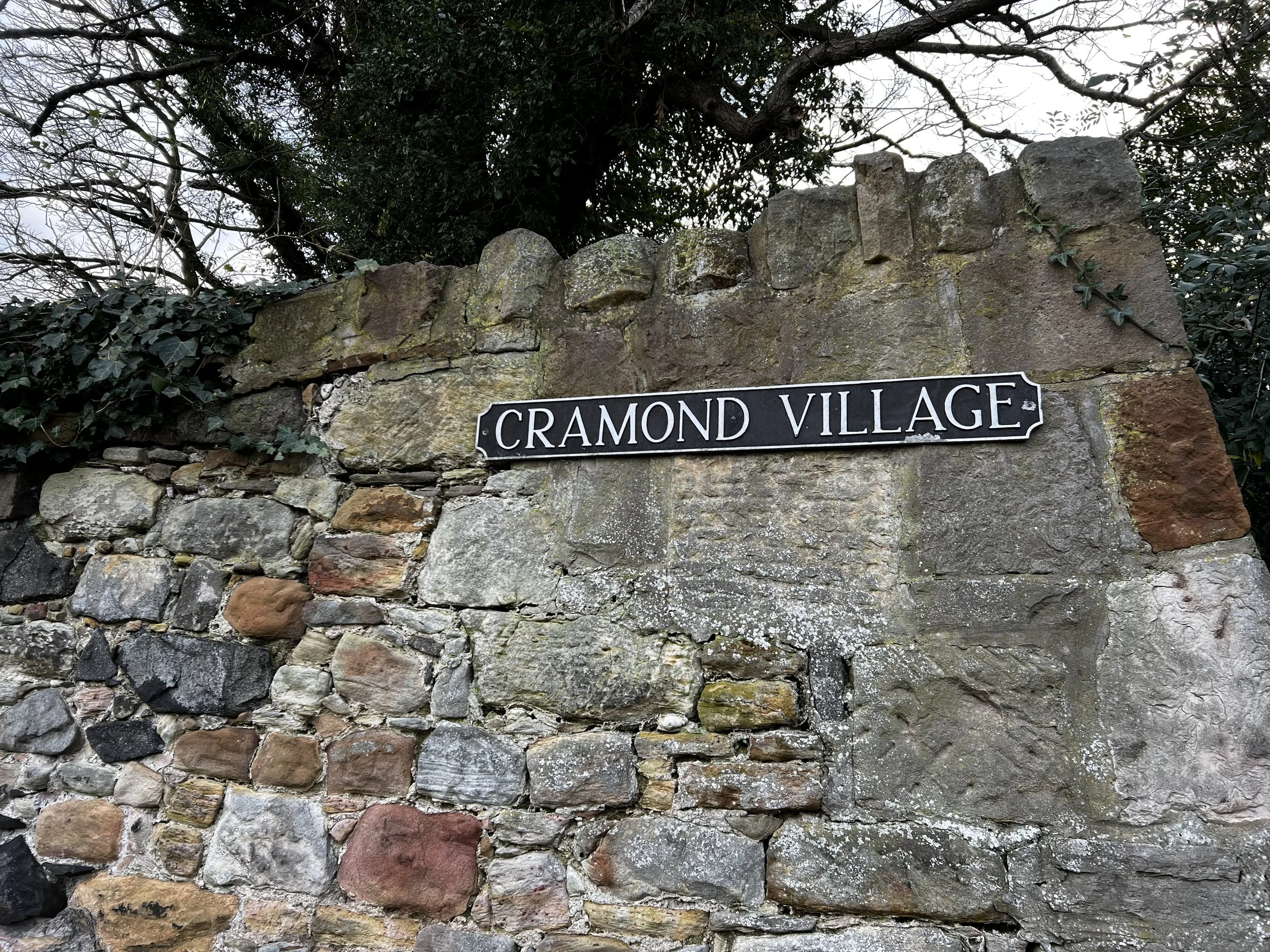
I decided to get up early this morning (Dec 7) to visit Cramond Island (and by “early” I mean just past 8). As it was 32°F outside, Amanda made the sensible choice to stay home. While walking through a thrift store a few days ago I found a used copy of One Good Turn by Kate Atkinson for £1.50. This is the second book in her “Jackson Brodie” crime series. Having just finished the first—Case Histories—before leaving the States, it was a fateful coincidence. One Good Turn is set in Edinburgh, which has been super fun to read, but I was even more pleasantly surprised when Brodie visits Cramond Island and (spoiler alert) finds a dead body. Cramond Island is very near Lauriston Castle (Most Ancient & Most Nobel post from 12/4), but we didn’t have time to visit on that day. With a mind to right that wrong, I headed out this morning.

Cramond Island with the red marker. The ocean inlet is known as the Firth of Forth. Firth means narrow inlet (much like fjord) and the Forth is one the most prominant of several rivers that empty into the inlet.

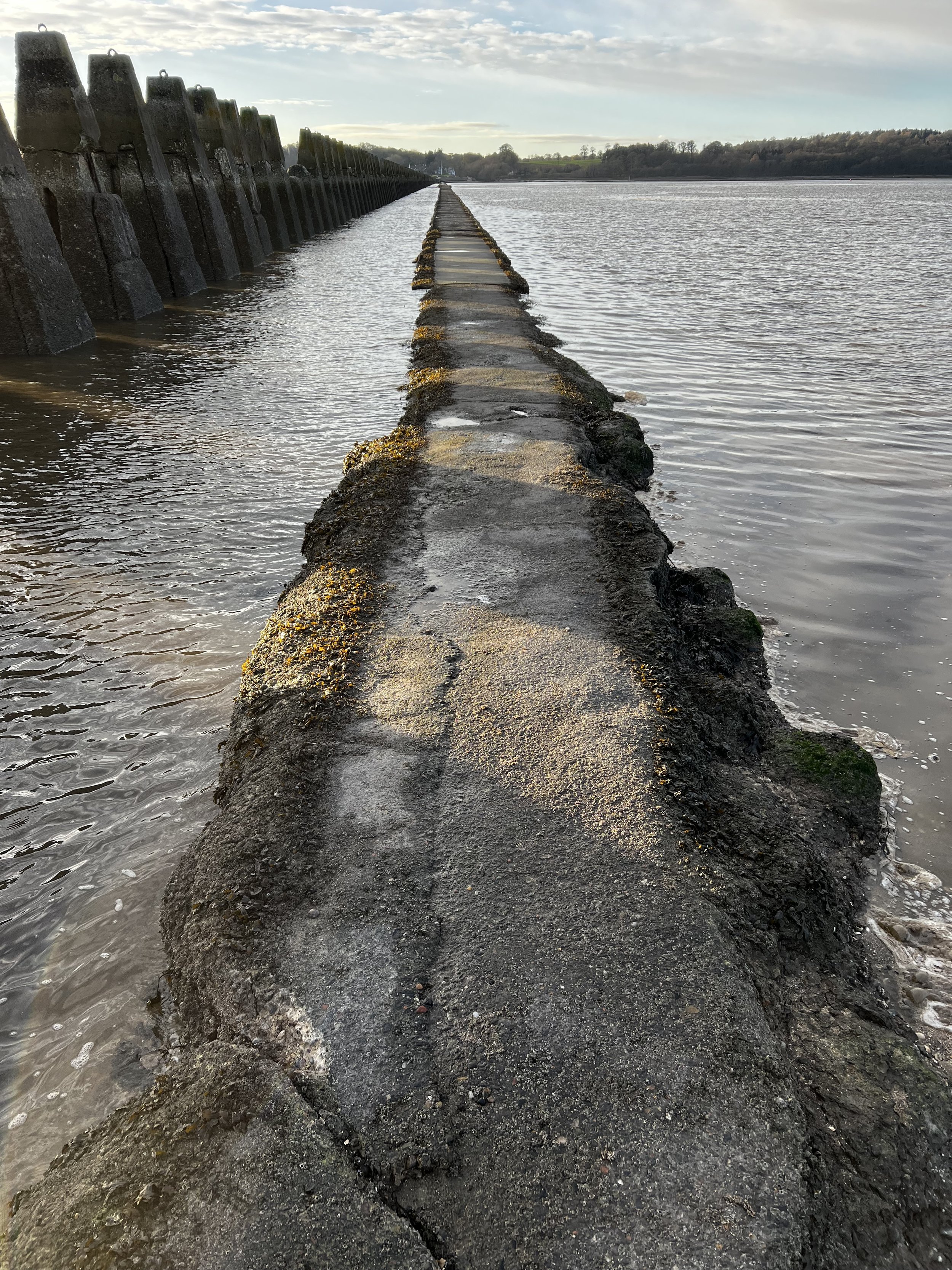
At low tides you can walk from the mainland to the island along a 3/4 mile long narrow concrete pedestrian causeway. Apparently people are frequently surprised by how quickly the tide comes in, so timing is everything.
The 41 bus gets you within a mile of the beach, then it was just a short walk to the causeway.

Just place your post into the wall. (Looks like a very old, walled-in doorway, with the posts and lintel still discernible.)
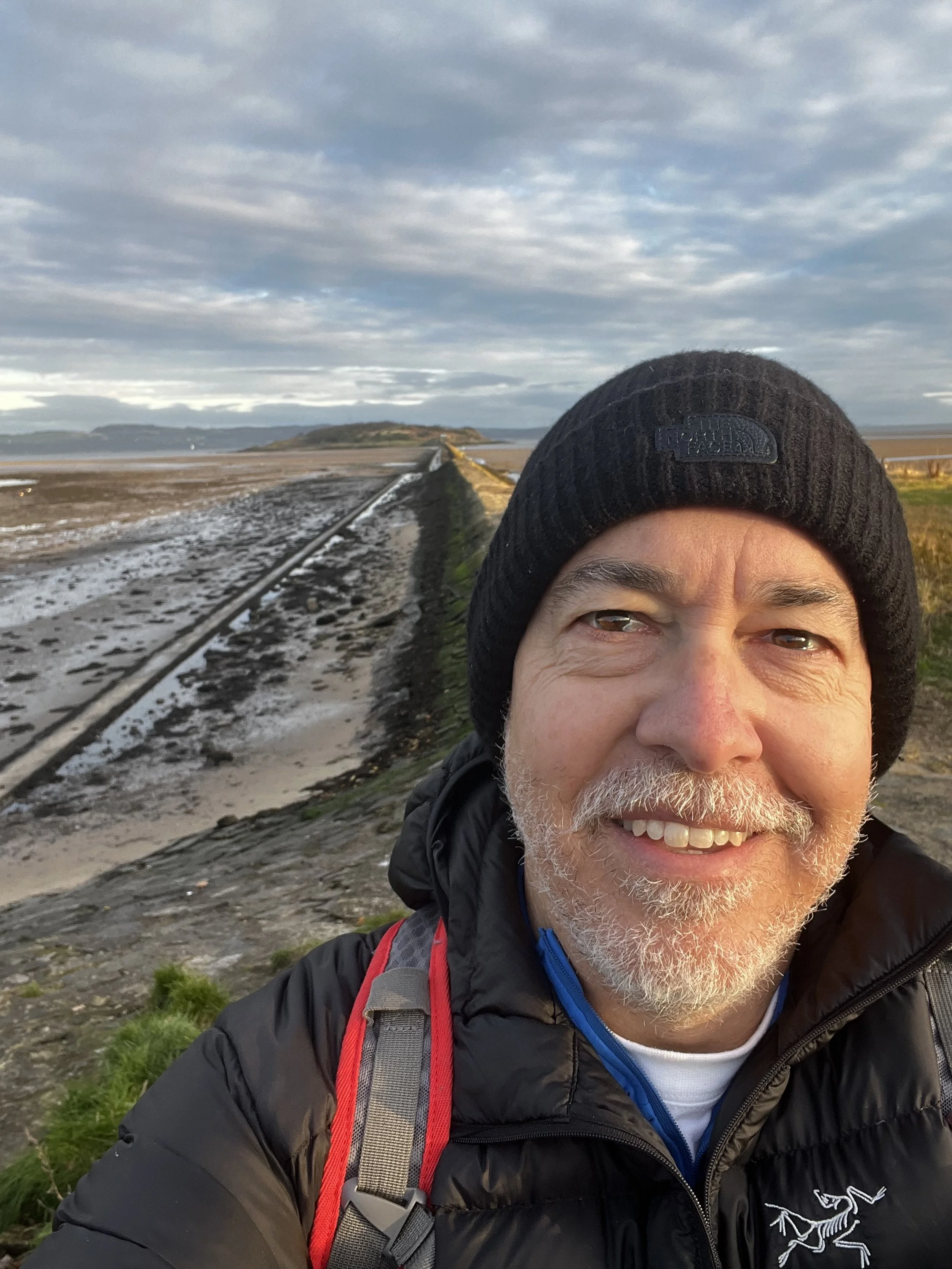
I arrived around 9:30. Low tide had been at 7:48 and high tide wasn’t until 1:44, so I should be in good shape! The causeway is the lower path on the left.

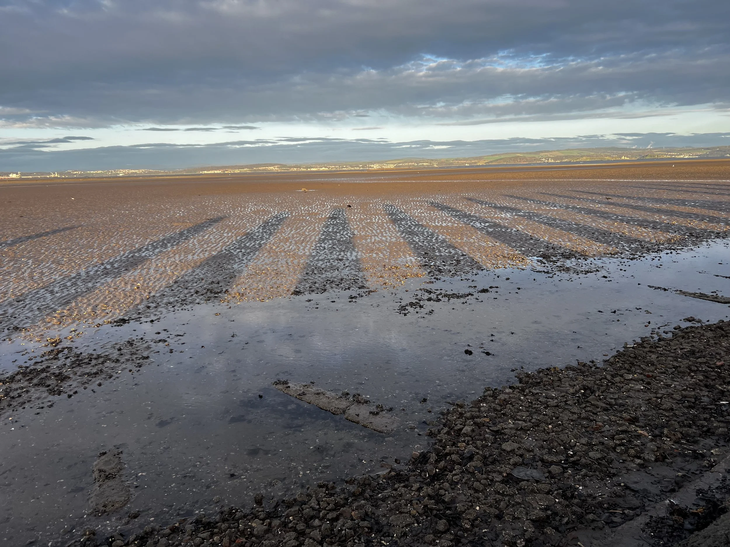
With the tide out, the rising sun made a spectacular display across the sand.

The imposing concrete teeth alongside the length of the causeway are military in origin, intended to ensure small surface craft or U-Boats could not pass south of the island at high tide. The island’s history is interesting if you want to read more. The clever crows were busy picking up shells, dropping them onto the causeway, and then fetching breakfast from inside. Remember how you can barely see water on either side of the causeway.
The long shadow of the teeth, like sundials in parallel or piano keys in the sand.

Looking west toward the Three Bridges.

The Forth Rail Bridge (the closest & in red) was built in 1890 and was over engineered in the wake of the Tay Bridge Disaster (there is an amazing exhibit on this disaster—including an actual section of a metal I-beam that failed—in the National Museum of Scotland). The Forth Road Bridge is in the middle and the Queensferry Crossing Bridge, with its distinctive white cable stays, is furthest west, but perhaps most prominent.

World War I saw the northern end of the island taken over by the War Department as part of the defences of the Firth of Forth. This part of the island was returned to its civilian owners in 1926.
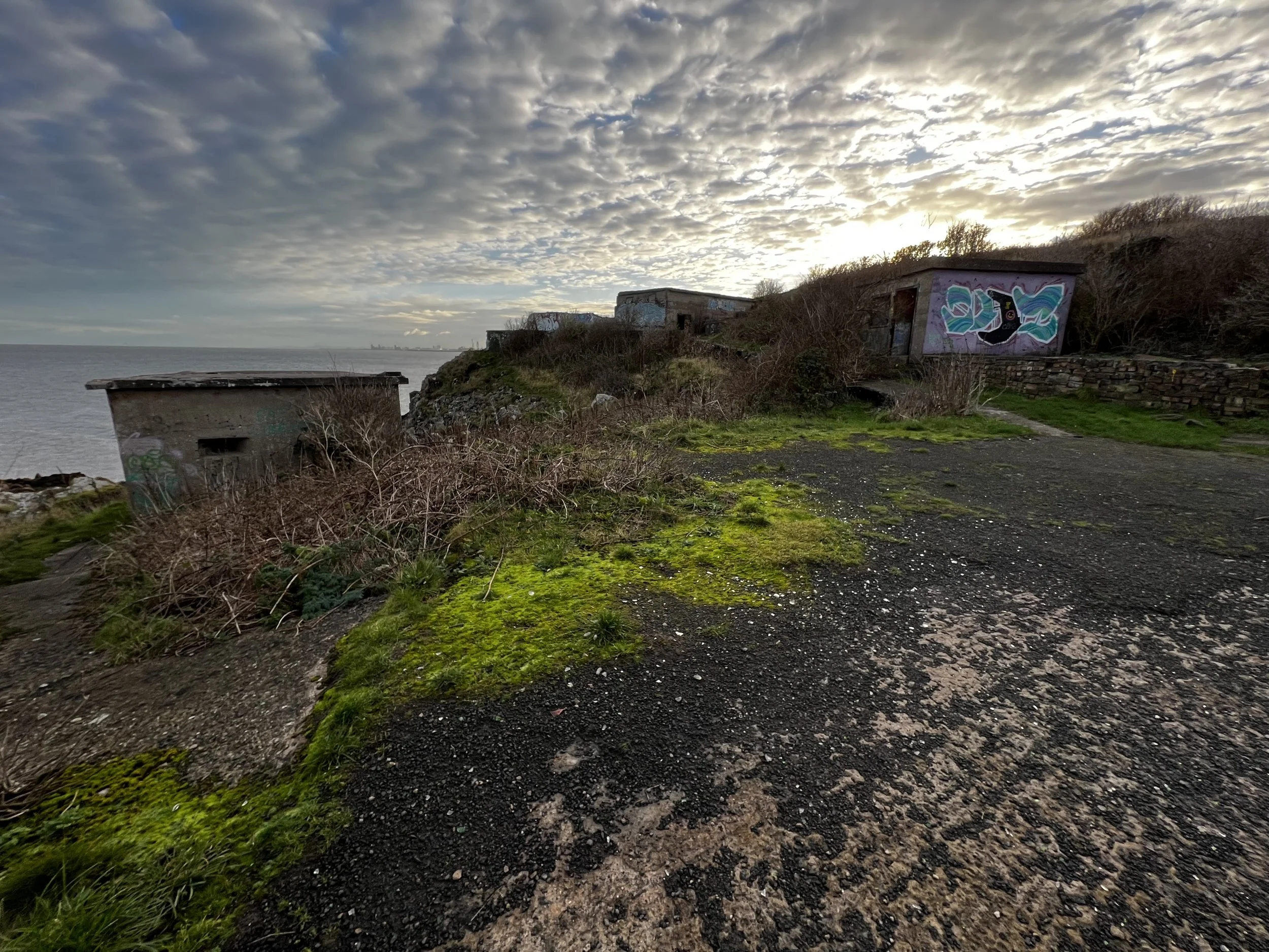
On the outbreak of World War II the entire island was requisitioned. The extensive construction works that were then carried out account for most of the structures still standing on the island today.

Stunning view looking back over the causeway. Holy crap, where did all that water come from?
By the time I headed back, the tide had risen significantly. In places the water was already lapping onto the path. Good thing I didn’t wait too much longer.
Made it home just in time for a nice cuppa with Amanda. Made me think of the Lily Allen song quoted above—I’ve always loved that song and arriving home felt like breathing the lyrics into life. Homemade pot pie and a new episode of All Creatures Great and Small on the telly.